Terrestrial Hydro & Bathymetric Surveys
Office: 0333 3390767 info@diving-services.co.uk Mobile 07455 123182

Laser Scanning Surveys
UKDS staff use the latest state of the art Leica Laser Scanners . We have extensive experience and the confidence to tackle almost any laser scanning task, be it a simple 2 D elevation building scan , extensive heritage surveys or large scale plant environment for 3D model creation

Examples of projects where 3D Laser Scanning can be applied bothon both land and water include the following:
- Marine structures - for footprints, elevations, sections, 3D models etc
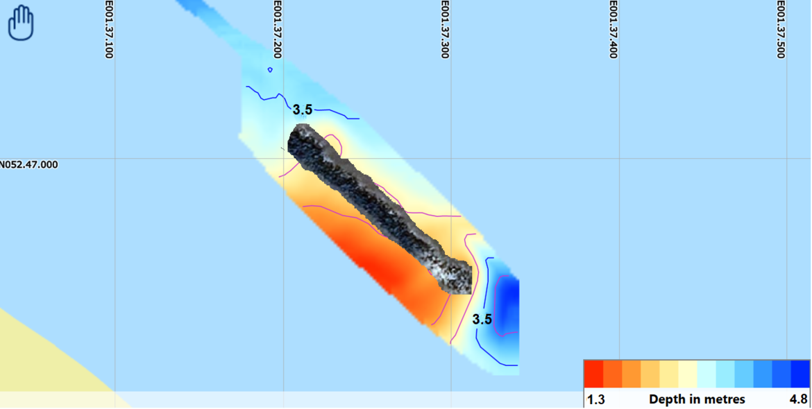
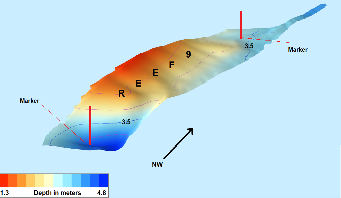
- Bathymetric surveys - full record scan, can be used to produce depth shading relief, major and minor contours and isobars. from tracks within set bounderies
- Any marine or built environment where comprehensive spatial information is required.
- Bridges
- Dock Walls
- Piers
- Mooring Dolphins
- Jetties


The benefits include:
- More accurate as-builts providing better off site fabrication and reto fit designs
- Elimination of site revisits saving time and money

River Surveys For Walls Bridges And Marine Structures
|
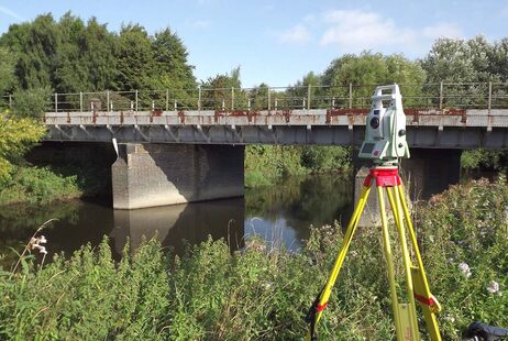
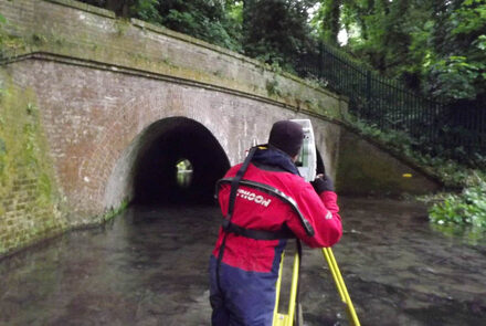
UKDS offer a wide variety of river surveys from underwater probing inspections and topographic surveys to underwater 2D and 3D sonar. . Many of our waterway projects also incorporate work within the rail sector; for example scour prevention and protection surveys of rail bridge structures over rivers and estuaries. Other examples include sonar and topographic surveys for culverts and headwall surveys associated with water catchment areas and flood risk assessments and scour protection surveys. Survey work is also carried out for flood alleviation schemes and flood recovery schemes.
|
|
If you have a survey requirement which requires access within rivers and watercourses we have suitably trained and experienced staff. You can be assured that UK Diving Services Ltd will work carefully, adhering to the required safety rules and procedures.


